Click on the image above to see a larger version.
Planting in North Carolina Using the USDA Plant Hardiness Map
If you live in North Carolina, you enjoy a relatively temperate climate, which makes it possible to grow a wide variety of trees, shrubs, and perennial flowers.
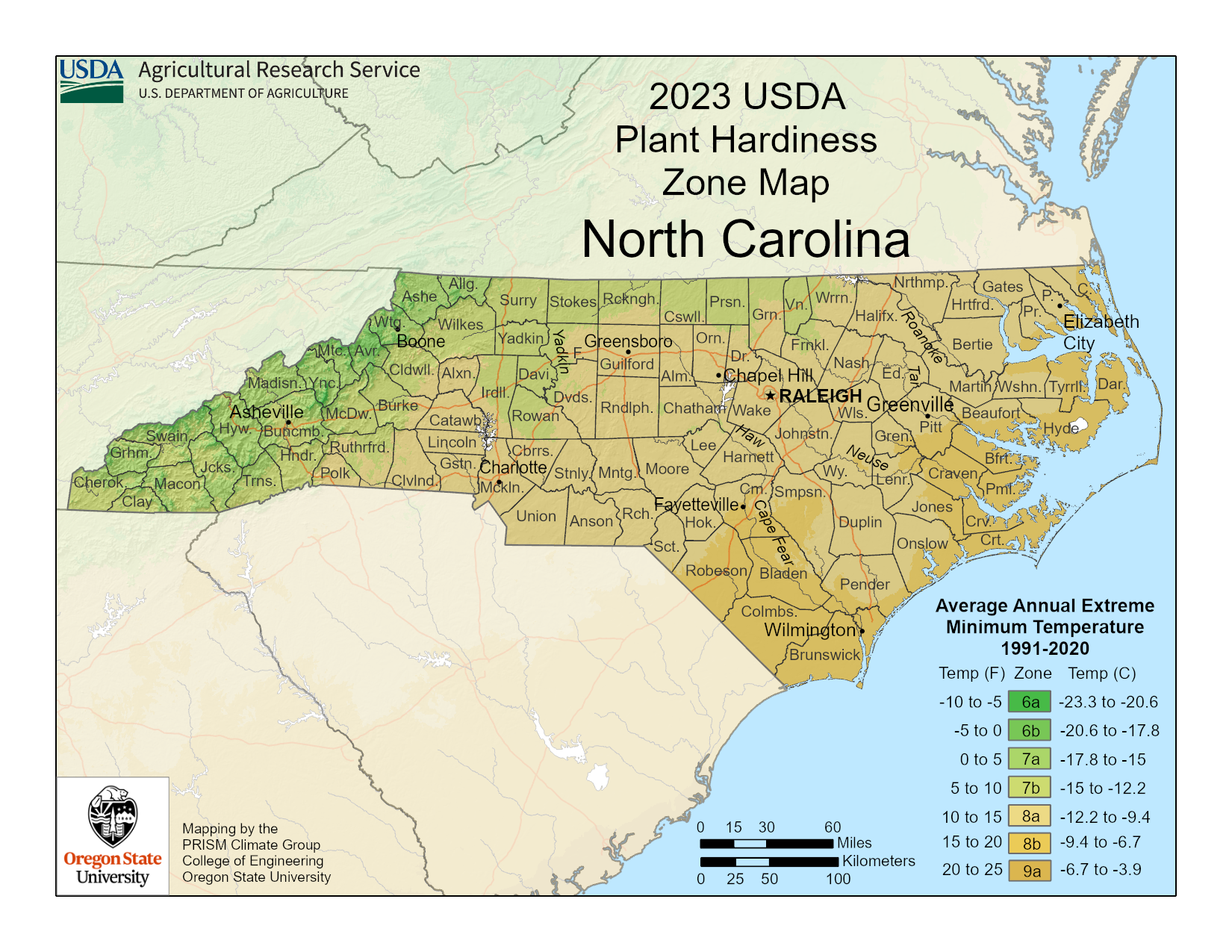
The 2023 North Carolina USDA planting map, as seen above, indicates which growing zones cover certain areas of the state. While the northwestern part of the state has the coolest average extreme winter lows, down to a possible -10 degrees F. (-23 C.), the southeastern part of the state rarely experiences winter lows to 20 degrees F. (-6.7 C.). North Carolina zones range from a 6a to 9a.
To find your location, you can enlarge the above map. You can also visit the USDA site and put in your zip code if you are uncertain of where you fall within the zones.
The new 2023 map is more detailed than previous versions and offers a more sophisticated zone finder capability.
The new map, released at the end of 2023, takes into account 30 years of weather data collected from thousands of weather stations throughout the United States. Each zone is in 10-degree increments and further divided into 5-degree subzones.
Factors such as elevation and proximity to a large body of water have also been used to calculate the zones.
Although many plants survive the North Carolina winter, there are some tropical species that will not, and gardeners living in the mountain regions have to be careful of their plant selection as well.
Overall, using the North Carolina USDA zone hardiness map provides good foundational knowledge for any gardener.
-
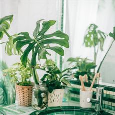 Grow a Bathroom Oasis: 8 Best Bathroom Plants With No Light or Low Light
Some apartment dwellers grow the best bathroom plants with no light or low light. Read how one of our favorite plant lovers does it in the big city.
-
 "My Worst Mistake" – Gardeners Share 10 Hard-Learned Lessons
Gardeners never stop learning, and sometimes our mistakes are the best teachers. But why not save time and heartache by learning from other gardeners' failures?

