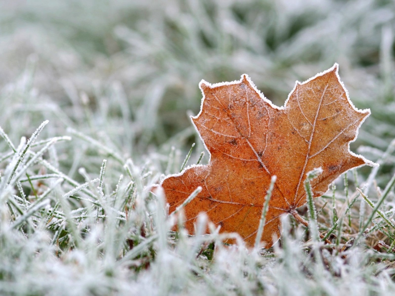
How To Predict Frost And Protect Your Garden


From gusty winds to too much rain, weather conditions can wreak havoc on a home garden. Yet nothing does more widespread damage to cold sensitive plants than freezing temperatures. Predicting frost can be a bit tricky but learning how to do so gives gardeners the edge when it comes to protecting their tender vegetable plants.
The Difference Between a Frost and Freeze Forecast
Frost occurs when temperatures at ground level reach 29 to 32 degrees F. (-1.7 to 0 C.). Exposures of 5 to 10 minutes at 29 degrees F. can severely damage frost tender crops like tomatoes and peppers. It takes a longer exposure at 32 degrees F. to cause similar damage.
Crops such as broccoli and lettuce can withstand a frost but can be killed by a moderate freeze. A moderate freeze is when temperatures remain between 25 (-3.9 C.) and 28 (-2.2 C.) degrees. Peas and spinach will survive these temperatures yet succumb to a heavy freeze when the thermometer drops below 24 degrees F. (-4.4 C.).
Frost Weather Forecast Factors
If you've ever been surprised by a frost-covered garden in the morning, you're not alone. Frost can seem quite unpredictable at times and is likely to occur even if the official overnight temperature remains above 32 degrees F (0 C.). Here are a few reasons why frost can be tricky to predict:
- Official temperatures are taken between 4 and 6 feet (1.2 – 1.8 m.) above the ground. Cold air is denser than warm and settles nearest to the ground while warmer air rises. This makes it possible for the ground temperature to reach 32 degrees F. (0 C.) even though the official overnight low temperature is higher.
- Sinking cold air can lead to spotty frost coverage. Plants in low areas may experience cold damage while those in higher elevations are spared.
- Spotty frost can be due to soil conditions. Moisture in the soil acts as a heat conductor. As night descends, moist soil slowly releases stored heat, which can prevent frost from forming near the surface.
- The number of hours between sunset and sunrise influences frost formation. Long nights in the fall allow more time for heat to escape and for surface temperatures to cool than in the spring.
- Frost is more likely to occur on clear, windless nights. Clouds emit infrared energy and help prevent cooling near the earth's surface.
- Frost is less likely to occur on breezy nights. Wind mixes the layers of warm and cold air in the atmosphere. This prevents cold air from settling near the ground.
How to Tell If There Will Be Frost
Dew point is a useful tool when making a frost prediction. Warm air has the capacity to hold more moisture than cold air. As the ambient temperature drops, it hits a point where the air can no longer hold the amount of water it contains and dew forms.
Temperatures can't fall below the dew point without water vapor condensing. This change in the state of water creates a small amount of heat, which generally keeps the ambient temperature from falling. Should the temperature fall further, the dew point also lowers. This can cause fog to form, which like clouds, emits infrared energy.
To accurately predict a frost, look for these clues:
Sign up for the Gardening Know How newsletter today and receive a free copy of our e-book "How to Grow Delicious Tomatoes".
- A forecasted overnight low less than 40 degrees F. (4.4 C.).
- A dewpoint lower than 40 degrees F.
- A cloudless night. (Be aware skies can clear overnight.)
- A windless night.
If you suspect frost is possible, pick off the garden or take steps to protect your tender vegetable plants by covering them with old bed sheets, plant blankets, cloche covers or cardboard. Erecting low or high tunnels also retains heat and prevents cold damage.

Laura Miller has been gardening all her life. Holding a degree in Biology, Nutrition, and Agriculture, Laura's area of expertise is vegetables, herbs, and all things edible. She lives in Ohio.
